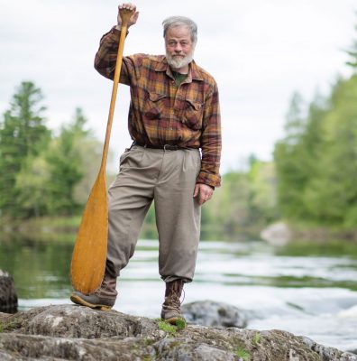
My Park Story – Kevin Slater on the East Branch
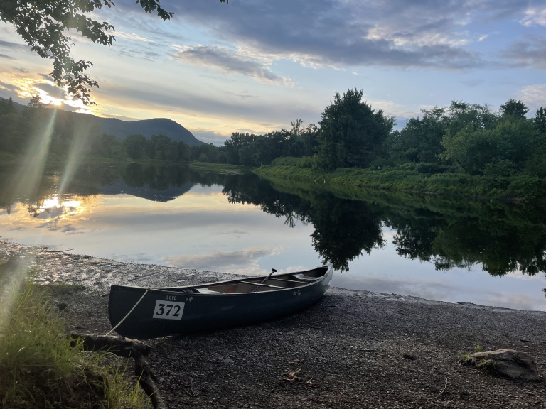
In 50 years of paddling the East Branch of the Penobscot, he’s learned that every paddling trip is a new experience–and he is an important witness to changes that slowly span the decades. In a recent conversation with Kevin Slater, co-owner of Mahoosuc Guide Services, he talked about the crucial data to watch when planning a river trip, the importance of water safety, and the historically low water levels in northern Maine rivers this spring.
Long before the designation of the national monument, Kevin first paddled the East Branch in 1973–and the following year, began guiding others on the river as a Registered Maine Guide. (Learn more about Kevin, his partner Polly, and Mahoosuc Guide Services here.)

“It’s all beautiful,” he chuckled preemptively before I could ask him to name a favorite spot. His love for the river is expressed in his intimate knowledge and respect for it.
“The most demanding and technical section is from Matagamon to Bowlin Camps, where in one roughly two-mile stretch there are nearly half-dozen Class 2 rapids and four carries.” Ever the teacher, Kevin explains, “it’s just like it sounds. Take your boat out of the water and carry it around.” He emphasized the difference between falls and pitches: “Be aware that an experienced paddler can run the fall. But the pitches are carries.” Kevin punctuated this warning: “A number of the pitches occur right before a blind turn in the river.”

Kevin recommends the upper section of the East Branch for paddlers experienced with rapids and carries–and for those who are not, to “employ the services of a guide.”
Guides like Kevin monitor the CFS, or cubic feet per second, of water entering the East Branch through the Matagamon Dam*. Higher CFS means deeper, faster water and more exciting (and potentially dangerous) paddling. While outdoor recreationists are well aware of the unpredictability of conditions, when we spoke in mid-May Kevin’s voice was slow with gravity.
“Every year is different. 2023 is historically low.” While southern Maine rivers ran high this spring, water levels in northern Maine rivers from the St. John to the Penobscot were “the lowest I’ve ever seen,” he reported. Low snow, earlier spring thaws, and dry summers in the region are factors that Kevin attributes this change to. A guiding trip planned for the St. John the week prior was changed to the Allagash instead, where enough water flowed to carry a canoe along.

Among the things that have NOT changed much, apparently, is Kevin’s desire to be on the water. This summer, he’ll be on the East Branch for three trips taking fisheries biologists on a NOAA grant-funded study of Atlantic Salmon habitat. It’s tricky to catch him on the phone or by email, and he has a habit of leaving you with a taste of something really intriguing. In my inbox is a teaser “if you’re interested” about a federal salmon hatchery in the 1930s and the history of the old East Branch guides. Definitely interested–and look forward to catching up with a bona-fide part of the history of the East Branch and KW&W in the off-season. Thanks, Kevin!
*Data available from the Matagamon Lake Asscociation, to whom Kevin encourages East Branch paddlers provide membership support. His sweet spot for “really good paddling where you’re not a pinball” is 550-900 CFS at the dam.