Trip Report: AMC Thru-Hike of the IAT in the Monument
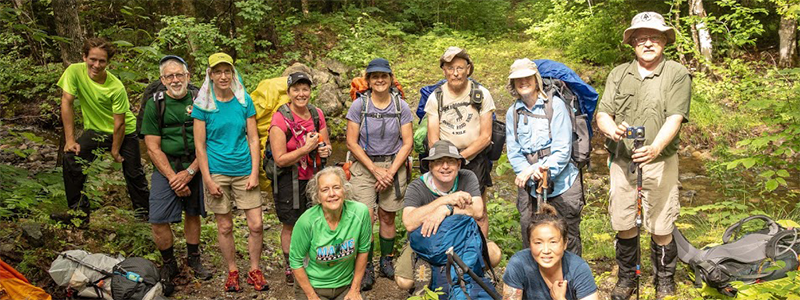
Story and photos by Stephen Brezinski, AMC Maine Trip Leader
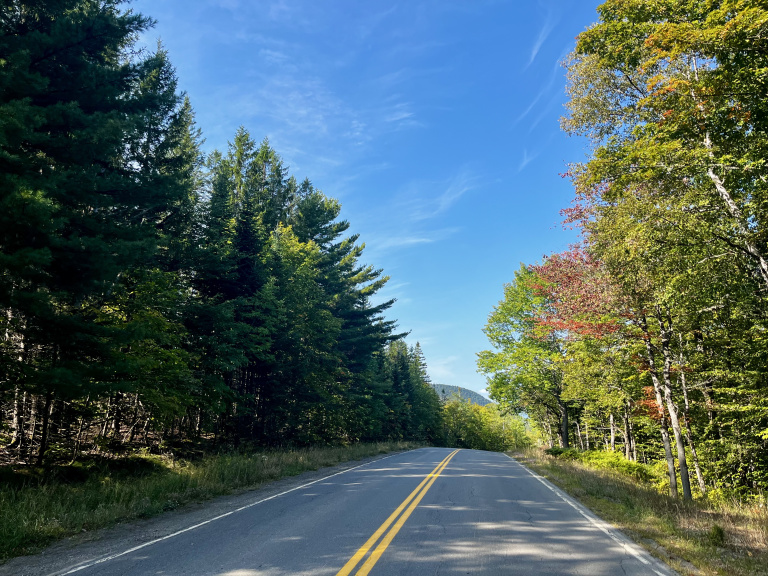
When I wanted to lead an AMC group backpack for beginners and intermediate level hikers, Katahdin Woods & Waters National Monument was the obvious choice for me. The area features good wide trails over rolling hills, several not-too-challenging peaks with good views, a good size stream to ford, and regularly-spaced good quality lean-to shelters. The trail we followed is the International Appalachian Trail (IAT), an intercontinental trail that stars in the Monument and continues north through Maine and Canada; and then across the Atlantic Ocean to Europe and down to the Atlas Mountains of North Africa. We would do only about 30 miles of the IAT’s current mileage of 5,500, southbound from Matagamon Camps to the Orin Falls Road Gate.
We were fortunate to have a mirror AMC group hiking north at the same time we hiked south. We could exchange cars in the beginning and then meet and exchange keys halfway, so as to hike back to our own cars. I like hiking south; to quote Tolkien, “it feels like walking downhill.” We opted for a late July backpack so that the river crossing might be lower than in the spring and early summer, and the biting flies and mosquitoes less troublesome!

Day 1 – We left two vehicles at the north end lot across the bridge from Matagamon Camps, where the IAT meets the paved road. Being a shorter day, the group took the 1/2 mile diversion to Stair Falls, which is a set of parallel cascades across the river formed by a series of hard rock layers folded up at an angle. We also took a short diversion to Haskell Hut, a riverside cabin favored by cross country skiers and rented through Elliotsville Plantation Inc in the winter months. Haskell Rock is worth a short visit, a rock pillar in the river made up of 400-million-year-old conglomerate rock, sometimes referred to as “puddingstone”.

All in all, our GPS told us we did 9 miles with a swift pace of about 2 1/2 miles per hour. It felt to me like at most 5 miles but that may be because the terrain is a gentle rolling tote road along the East Branch of the Penobscot. Grand Pitch Lean-To was reached with plenty of time to lounge, read, make camp, read and dinner; before the deluge of rain and lighting that greeted our brethren hiking north over Deasey Mountain. If you like fishing this is the area to do it.
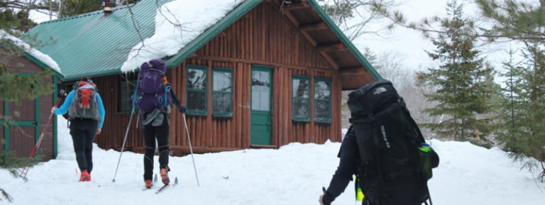
Day 2 – We started early with wet tents stuffed in our packs. The IAT continues along the river and is a wide grassy or mossy trail allowing us to walk side by side much of the time. Before lunch, we came to the bridge over to Bowlin Camps, a historic hunting camp that services hunters, fishers, paddlers, hikers, and more. It’s a potential good bailout spot for someone in trouble. We were hoping for some coffee or lunch but alas, it was not to be. We did do an exceptional job of knocking away the wetness of the dewy, hanging foliage for the northbound AMC group! Mid-day we passed the southbound group at Little Spring Brook where we heard tales of their stressful time crossing Deasey and Lunksoos peaks in the previous day’s storm.

About 2/3 the way to Lunksoos Lean-To, the trail left the river and we started to gain elevation. At day’s end, the GPS told us we did about 11 miles and 600 feet of gradual elevation gain from Grand Pitch to Lunksoos Lean-To. Be aware that at Lunksoos Lean-To the water source is a good hike away! I estimate near 800 feet south along the trail and then downslope another 300 feet to a good quality and bountiful brook. If it is raining, catch water off the shelter roof. Bugs were no problem at this shelter so we dispensed with the tents.
Day 3 – We left the wide tote roads and hiked largely on narrow forest trails up and over Lunksoos and then Deasey Mountains, about 1000 feet elevation gain and loss. Be careful over Lunksoos were we found the trail hard to follow in places. Lunksoos has the most impressive beds of lichen and moss; the trails are so little used these trails are still soft with grass and fallen leaves. The views from both peaks were glorious and a magnificent change from the gray overcast of the previous two days. The Travelers, Katahdin and Barnard Mountain were obvious to the west, and many other peaks unknown to our group visible to the east. The restored Fire Warden’s lookout atop Deasey is worth the visit for lunch.

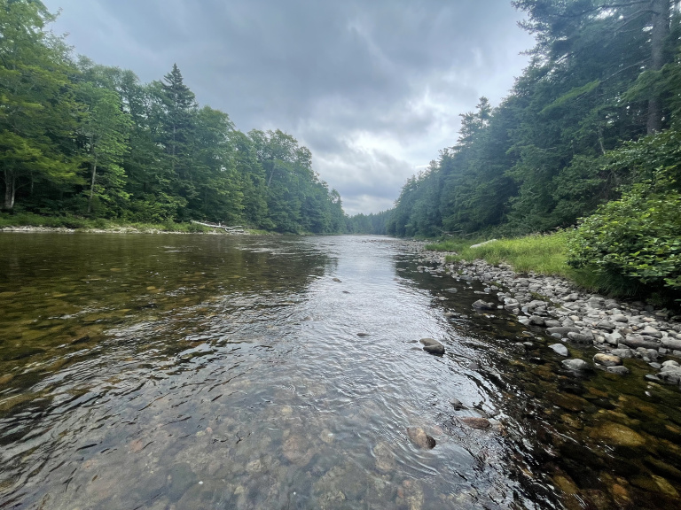
At the trail’s ford over the Wassataquoik Stream, the water was a little deeper and quicker than when we forded it in late August of 2017. This year in late July the 150-foot-wide stream was knee deep for the tall hikers and thigh deep for the more petite hikers. We crossed in pairs. With the jumble of stream-bed rocks underfoot, I recommend you not cross in bare feet.

With the elevation gain our travel speed was considerably slowed on Day 3, about half the speed we accomplished on Day 1. Day 3 was the most strenuous of the three days hiking but at about seven to eight miles, the shortest in distance. Mid-afternoon we reached the cars and traveled back to Sherman’s finest eatery. Despite the rain, a good time was had by all. The 30-mile walk is not overly strenuous compared to hiking in the Whites. If you want seclusion this is a great location. Thinking back, my only real regret maybe is that it went to fast, I wish I had walked slower and stopped more.
Stephen Brezinski is a volunteer leader with AMC Maine. For a calendar of upcoming AMC trips, visit the AMC Maine website here.